Hello,
Welcome to the GeoNode Gallery

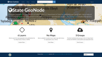
The State GeoNode is a digital service provided by the U.S. Department of State for publishing open geographic data produced by or compiled by the U.S. Government to the public, U.S. Government decision-makers, and partners on complex emergencies, natural disasters, and diplomatic activities world-wide.
Find it online at State GeoNode.
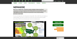
This GeoNode instance is made available to federal staff and contractors working to implement the National Environmental Policy Act of 1969 (NEPA) and other related environmental reviews and permitting processes.
Find it online at nepaNODE.
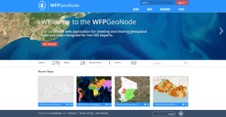
The United Nations World Food Programme is using GeoNode enhance their data collecting capabilities from anywhere in the world. By leveraging features like on line editing features and crowdsouring data they are be better prepared to react during humanitarian emergencies.
Find it online at UN WFP.
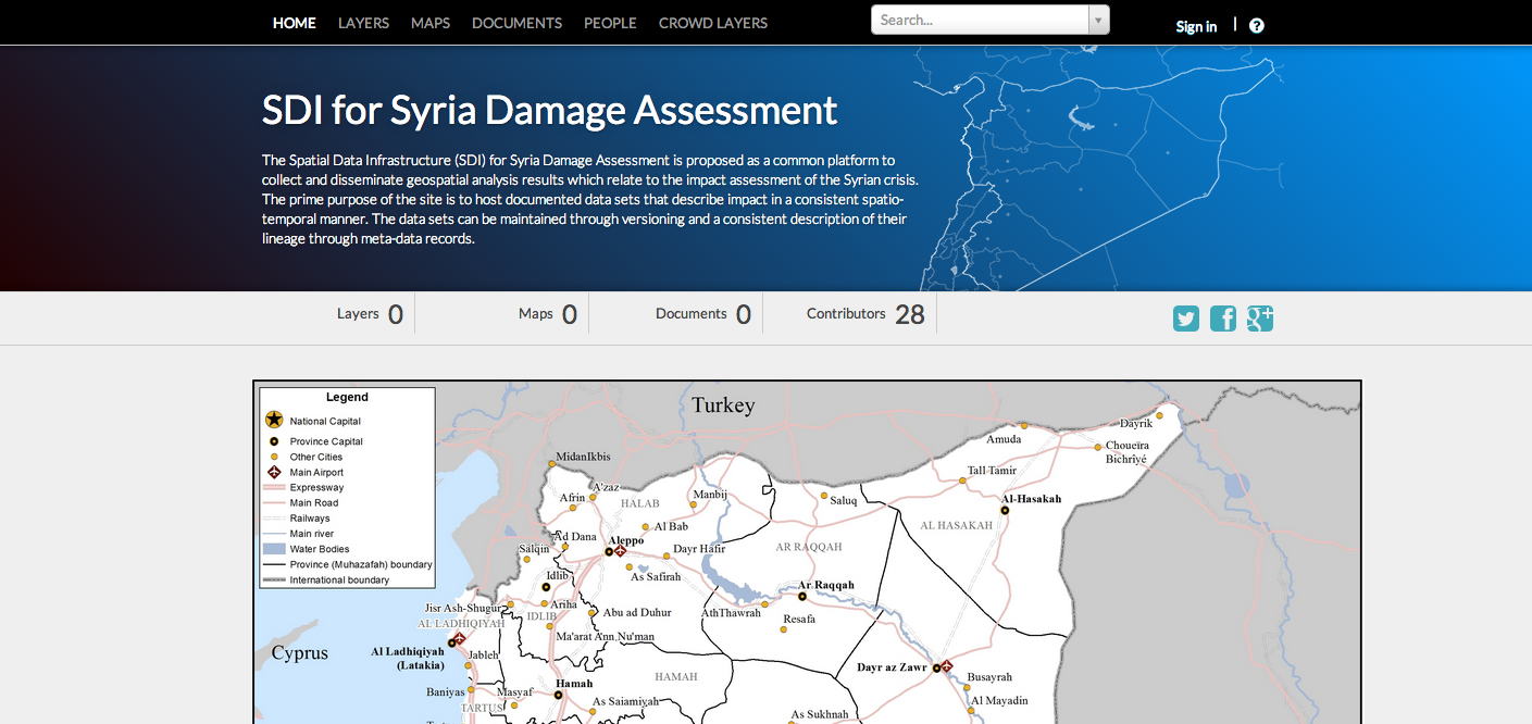
The European Commission - Joint Research Centre is using GeoNode to provide a Spatial Data Infrastructure (SDI) for Syria Damage Assessment is proposed as a common platform to collect and disseminate geospatial analysis results which relate to the impact assessment of the Syrian crisis. The prime purpose of the site is to host documented data sets that describe impact in a consistent spatio-temporal manner. The data sets can be maintained through versioning and a consistent description of their lineage through meta-data records.
Find it online at EU JRC.
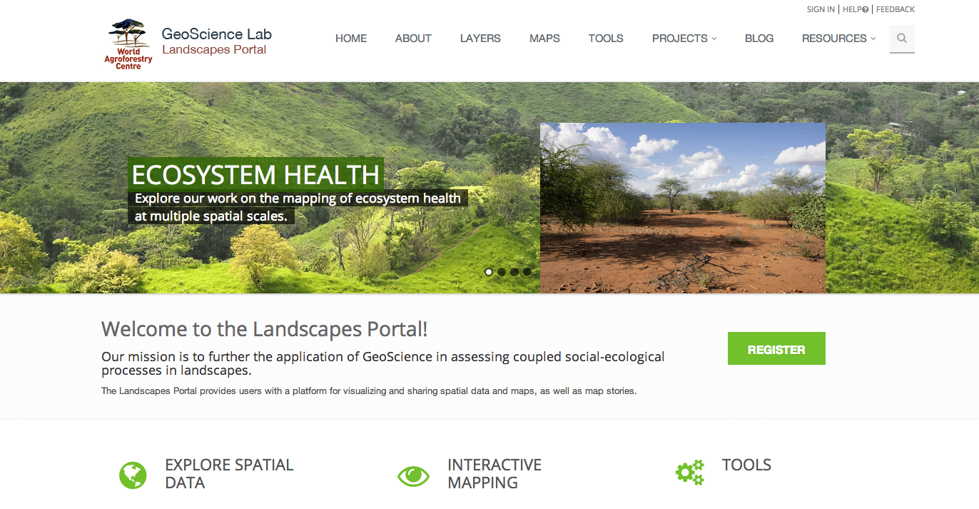
TICRAF Geoscience Lab, uses Geonde as a spatial data sharing platform to meets its mission of applying GeoSciences in real decision contexts, such as climate change adaptation, hydrological effects of changes in climate and land cover, targeting of agroforestry interventions, provision of soil fertility and surveillance advisory services for smallholder farmers, digital soil and land use/cover mapping, and measuring impacts of interventions, all this using open source.
Find it online at ICRAF.
Bolivia is using GeoNode to develop a Geographical Data Infrastructure for the National Information System for Risk Reduction, composed by science and specialised sectors in the areas of; Risk management, Geological Survey, National Statistics, MilitaryGeographical Institute, Heath, Land, Water and education sectors. Each sector will have an instance of GeoNode, and all the be federated in one system orchestrated by the Civil Defence Office. A few examples of Bolivia's instances are below:
Find it online at Bolivia GeoNode.
The University of the West Indies (UWI) Disaster Risk Reduction Centre (DRRC) and the World Bank collaborated on the "Caribbean Risk Atlas" project with the main goal of making spatial data on risk for hurricanes, earthquakes and floods in the Caribbean available on-line. Mona GeoInformatics Institute (MGI) built the "Cariska" web map application for this project on the GeoNode platform.
Find it online at Caribbean Risk Atlas.
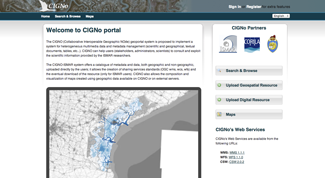
The CIGNO (Collaborative Interoperable Geographic NOde) geoportal system is proposed to implement a system for heterogeneous multimedia data and metadata management (scientific and geographical, textual documents, tables, etc...). CIGNO can help users (stakeholders, administrators, scientists) to consult and exploit the scientific information provided by the ISMAR researchers.
Find it online at CIGNo.
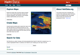
HaitiData is designed toto facilitate open access to Haiti-related geo-spatial information, data and knowledge sources, encouraging others to share and use them for the development of Haiti. For a list of all the organizations and people involved in data collection for the site, see the partners page.
Find it online at HaitiData.org.
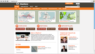
MapStory, as a compliment to Wikipedia, is a new dimension to the global data commons that empowers a global user community to organize all knowledge about the world spatially and temporally. Just as Wikipedia uses a MediaWiki, MapStory uses a GeoNode. Perhaps more important, MapStory is an infrastructure for enabling "MapStorytelling" as a means of communicating important issues to a global audience. In order to accomplish this, MapStory has sponsored temporal, social and narrative extensions to GeoNode. The goal is to enable any student, teacher or practitioner on Earth to tap the power of this new mode of conveying one's stories, arrayed across geography and as they unfold over time. MapStory will become the convening point where MapStorytellers of all kinds come to publish their expressions, and to critique each others' MapStories, leading to a consistently accumulating and improving global body of knowledge about global dynamics, worldwide, over the course of history.
Find it online at MapStory.
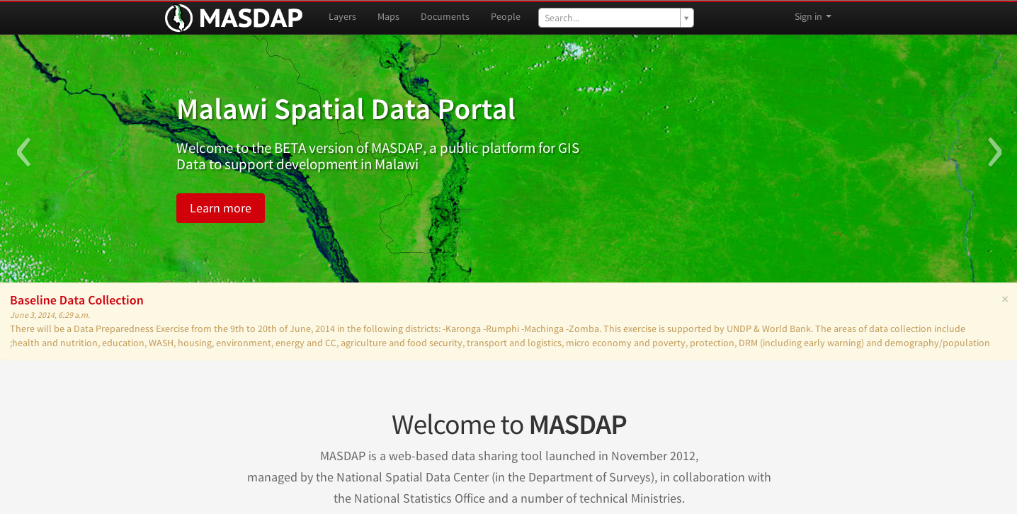
The Government of Malawi, in partnership with the GFDRR labs of the World Bank is using GeoNode with data coming from the various ministries to build resilience to disasters in a changing climate.
Find it online at MASDAP.
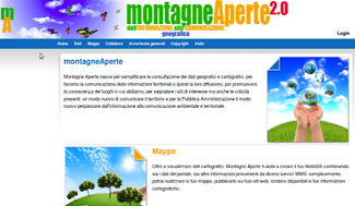
The Mountain community of Monti Martani, Seranoand Subasio is using Geonode to share spatial data such like hiking trails and other distrincitve outdoor feautures.
Find it online at montagneAperte.
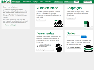
The purpose of moz-adapt.org is to provide tools and data in order to better understand and prepare for Climate Change in the country of Mozambique with an enfasis on reducing disasters caused by natural hazards. The site has been developed by and for INGC, with support from The World Bank, The Global Facility for Disaster Reduction and Recovery (GFDRR).
Find it online at Moz Adapt.
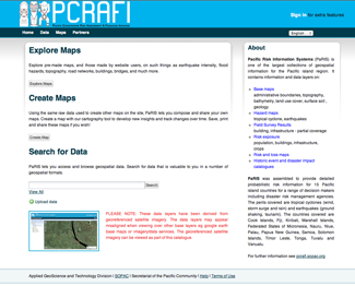
Pacific Risk Information Systems (PaRIS) is one of the largest collections of geospatial information for the Pacific island region. PaRIS was assembled to provide detailed probabilistic risk information for 15 Pacific island countries for a range of decision makers including disaster risk management agencies. The perils covered are tropical cyclones (wind, storm surge and rain) and earthquakes (ground shaking, tsunami). The countries covered are Cook Islands, Fiji, Kiribati, Marshall Islands, Federated States of Micronesia, Nauru, Niue, Palau, Papua New Guinea, Samoa, Solomon Islands, Timor Leste, Tonga, Tuvalu and Vanuatu. PaRIS was created by Applied GeoScience and Technology Division, Secretariat of the Pacific Community (SOPAC).
Find it online at PaRIS.
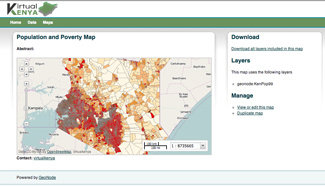
In 2011, a partnership was formed between Upande Limited and World Resources Institute to jointly build VirtualKenya.org in to provide improved access to high quality spatial data and cutting-edge mapping technology. The goal of the system is to enable more Kenyans to use and interact with spatial data in their educational and professional pursuits. VirtualKenya.org uses GeoNode to provide online access to publicly available spatial data sets and by offering users a number of interactive tools and learning resources for exploring these data.
Find it online at VirtualKenya.org.
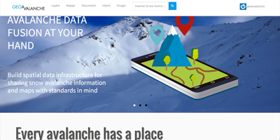
GeoAvalanche is a spatial data infrastructure for sharing snow avalanche information and maps with standards in mind. The project supports the development of geospatial solutions to allow the exchange of data between avalanche warning services, authorities and the public for publishing more reliable avalanche risk maps.
Find it online at GeoAvalanche.
